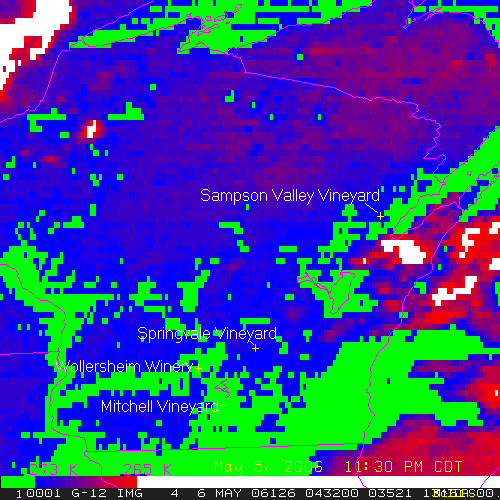
I pulled the data from the GOES-12 weather satellite for the freeze last Friday night. I enhanced it to show where the temperature was above and below freezing. I then made an animated GIF with cross hairs on a few select vineyard locations that I knew the exact latitude and longitude. It is somewhat hard to tell what is what, but the animation helps. If you are planning a vineyard, you may even be able to spot good locations that would be less likely to experience a late spring frost. http://jerroldr.googlepages.com/home
No comments:
Post a Comment